European satellites test a system in Morocco to anticipate land degradation
Morocco is serving as a test site for a European project capable of detecting and forecasting land degradation using satellite data. Tested in particular in the Zagora region, the system is intended to make it possible to intervene before the damage becomes difficult to reverse.
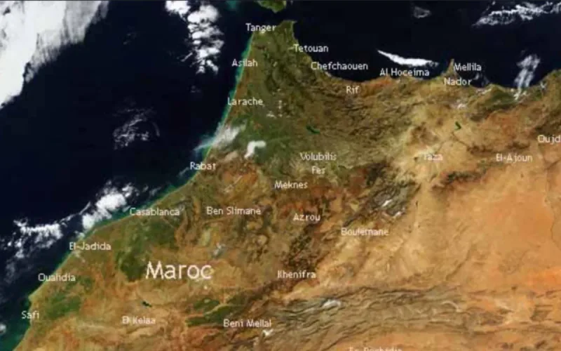
Named EWALD, the European Union-funded project is not merely seeking to establish that soil has already degraded. Its alert system combines Earth observation data, remote sensing and a probabilistic model to determine how degradation in an area is likely to evolve.
The aim is, in particular, to produce maps that will enable land managers and authorities to identify threatened areas sooner. “Much of current research focuses on assessing degradation, and less on preventing it,” researcher Sergey Stankevich explains to the European Research Executive Agency.
On Bladi.net : Morocco: Satellite images reveal a country transformed by record rainfall
Morocco occupies a special place in the project. According to the European Commission, it was selected alongside Ukraine as one of the project’s two test areas. Researchers there are studying, in particular, the risks associated with desertification, while the Ukrainian site makes it possible to observe more of the effects of industrial activities.
Scientific studies published this year specifically used the province of Zagora to test the method. The researchers highlight several phenomena that may degrade the land: loss of fertility, a decline in vegetation and yields, water shortages, drought, soil salinization and an imbalance in water resources.
Ground checks to verify what the satellites see
Satellite data are not used on their own. Ukrainian researchers travelled to Morocco between late January and February to compare maps produced remotely with the situation on the ground.
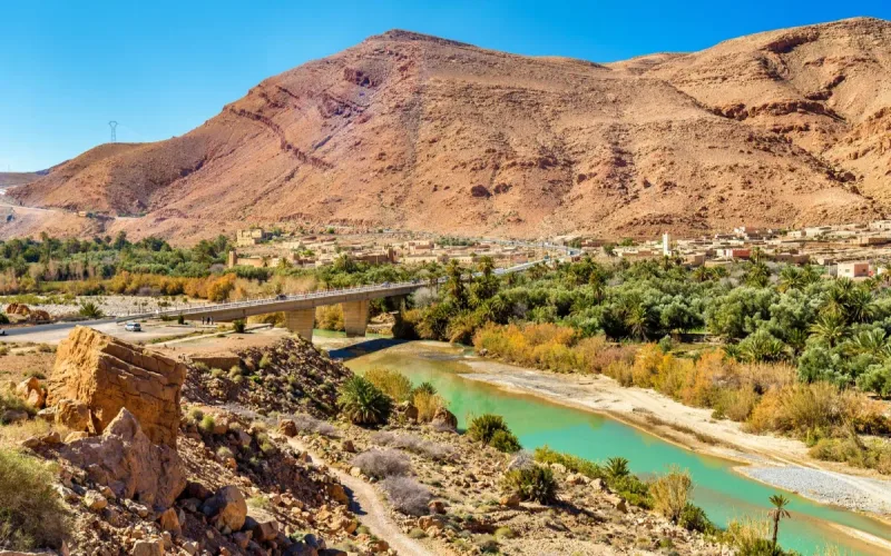
From 8 to 10 February, they travelled with their Moroccan partners through the oasis ecosystems along the Drâa and Dadès rivers, in the Zagora and Skoura areas. With support from the agricultural services in Ouarzazate, 70 checkpoints were selected to verify satellite-produced degradation maps and test the online prototype, the National Academy of Sciences of Ukraine reports.
The project brings together, in particular, Cadi Ayyad University in Marrakech and researchers and organizations from Portugal, Germany, Slovakia and Ukraine. Staff from Morocco’s Ministry of Agriculture also took part in training to learn how to use these tools for climate monitoring and crisis management.
On Bladi.net : Morocco’s mysterious red patch visible from space reveals thriving desert agriculture
Ultimately, the platform is intended to let users incorporate their own land-use data and then generate forecasts. The system has already been compared with Trends.Earth, the tool recommended by the United Nations for monitoring and mapping land degradation, with results considered encouraging by European researchers.
The team now wants to go further. It plans, in particular, to incorporate more artificial intelligence to improve the reliability and accuracy of forecasts. For Morocco, the challenge is to move beyond simple satellite images showing how landscapes change towards a tool capable of indicating which lands are at risk of degrading in the years ahead.