Artificial intelligence reveals Morocco’s hidden potential for climbing
Artificial intelligence has mapped the Upper Ziz basin in the eastern High Atlas. According to the two models used, between 15 and 19% of the area studied appears to have topographical characteristics highly favorable to climbing.
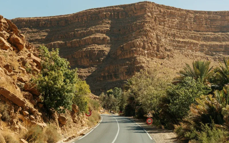
Morocco may have far more climbing sites than it realizes. Researchers used artificial intelligence to identify the mountainous areas offering the best topographical conditions in the Upper Ziz region, between Midelt and Errachidia.
Their study, published on August 5, 2026, in the journal Discover Geoscience, focuses solely on this part of the eastern High Atlas. It therefore does not constitute a map of all Morocco’s mountains.
The researchers first compiled an inventory of 120 climbing sites and 120 locations that did not present the same characteristics. They relied on field visits, Google Earth images, previous research and discussions with local communities.
The 240 points were then divided between a training group and a verification group. Two models were trained to recognize the characteristics of terrain already used or considered favorable for climbing.
The first, based on logistic regression, classifies 15.18% of the area as highly suitable. The second, using a support vector machine, raises this proportion to 19.21%. It also achieves the best results during validation tests.
On Bladi.net : Morocco Aims to Boost Mountain Tourism, Targeting 500,000 Annual Visitors
The most promising areas are concentrated in the western part of the territory studied. They mainly correspond to rugged terrain, located at high altitude and featuring steep slopes.
More than 80% of the sites already identified were located between 2,300 and 2,900 meters in altitude. More than 90% were situated on slopes exceeding 30 degrees. The slope angle thus appears to be the most decisive factor, ahead of altitude and slope length.
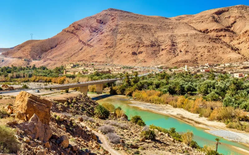
The Upper Ziz basin offers particularly suitable terrain for this research. Its altitude ranges from approximately 1,023 to 3,687 meters, and its landscapes include high peaks, cliffs, gorges and valleys deeply carved into Jurassic rock formations.
A Promising Map, but Not a Green Light
Artificial intelligence has not discovered immediately practicable routes. It has produced a probability map intended to guide future field research.
Several decisive elements were not directly incorporated into the models. Rock stability, which is essential to climbers’ safety, could not be assessed due to a lack of sufficiently precise data. Detailed geological composition and land use were also excluded from the calculation.
The map’s resolution is another limitation. Each cell covers 30 meters, a scale sufficient for identifying large favorable areas, but unable to represent a small cliff face, a narrow ridge or a local weakness.
The researchers therefore stress the need to inspect each location on site before considering opening a route. Accidents occurring in Morocco’s mountains serve as a reminder that altitude and difficult access can considerably complicate rescue operations.
On Bladi.net : Morocco’s Hiking Boom Lacks Official Support Despite Growing Popularity
Accessibility is precisely one of the main obstacles. The region is mainly served by National Road 13, linking Midelt to Errachidia, and by Regional Road 704 between Er-Rich and Imilchil. The rest of the network largely consists of tracks and unpaved roads.
Despite these constraints, the researchers believe that their maps can help local authorities select the areas to be studied as a priority, organize access and prevent uncontrolled development in fragile zones.
The economic potential goes beyond the sport itself. The Ziz gorges and escarpments could support adventure tourism combined with hiking, geological discovery and local accommodation.
Morocco already considers mountain tourism to be a largely untapped potential. Mountainous areas cover more than 40% of the country and could attract more visitors beyond seaside destinations and major cities.
The country has a few recognized showcases, such as the Toubkal circuit, recently ranked among the most beautiful hikes in the world, the cliffs of Azilal and the Todgha gorges in Tinghir. The Upper Ziz could become a new hub, provided that investment is made in safety, guide training, signage and landscape protection.